Monday, May 21, 2012

Full Moon Hike

I did full moon hikes at Dead Horse Point and they were pretty popular, so I decided to try some here at Fort Churchill. There is an easy 0.6-mile trail that goes around the ruins of the Fort so I thought I'd start by talking about the moon (on May 5--the first hike--it was a Perigee moon, where it was at its closest point to the earth and a full moon) then talking about the history of the Fort. As we walked through the fort ruins, I wanted to stop and talk about the buildings and what life was like for the soldiers. I made hardtack, which they would have eaten as they traveled because it's light and stores well.

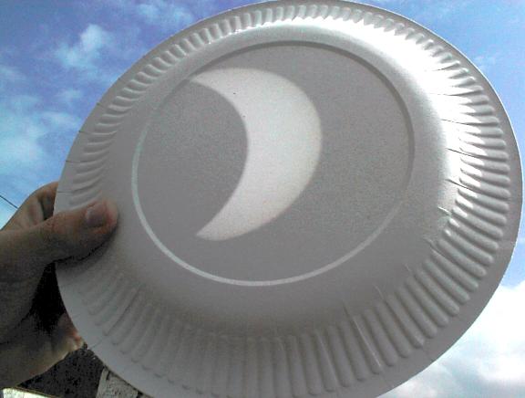
The moon just starting to rise over the mountains.

We advertise in the newspapers, through Nevada Magazine, the Silver Springs Chamber of Commerce, the Nevada Council on Tourism, Facebook and Google Calendar. Even with all that I didn't expect to have 51 people show up! The region manager was there--brought his kids--so I was really nervous because it was the first one and I didn't know what to expect. He told me later that his kids went back for seconds on the hardtack (I thought it was nasty, but I'm glad the kids liked it!).

This is the line of people from the museum down the trail, and more people still hanging out at the museum. I'm curious to see if we have that many people in the next few months.


It ended up going really well--since I was so nervous, I made sure I knew the material really well. I did have to condense some of the stops because sometimes it's a long wait for the whole crowd to catch up every time, but it still lasted about an hour.

Right when I started to talk, the sprinklers went off on the lawn! No one got soaked (maybe a dog or two) but I was still embarassed...next month, the sprinklers are going off the day before! I never had to worry about sprinklers at Dead Horse Point, because we didn't have grass to water! Oops...

It ended up being a really nice night--no wind, no bugs, good temperature...I was happy!

This isn't the clearest picture, but you can just make out the Fort ruins lit up by the moon. I'm thinking maybe it should be scheduled later, when the moon is already up in the sky so it's brighter, but it was also fun to see it rise.

Steller's Jay!

It didn't take long for the visitor to arrive after we set up the campsite...

Got any chips?

Nothing yet....I'll come back later.

This Steller's Jay kept an eye on the campsite in case we left an un-guarded bag of chips or hot dog bun laying around.

Solar Eclipse

This will just be a short post about the eclipse yesterday. Dave tried to get a picture of the sun but the camera wouldn't cooperate (I think he's the one who told me it's bad for the camera...hahaha). I remembered that you can put a pinhole in a piece of paper and project that image onto another paper so we did that instead. Dave tried to get a picture of that too, but he kept blocking the sun with the camera so it didn't work.
This is what it would have looked like, except our image was smaller. The clouds came over before we got to see the whole thing but we did watch it get dark while the sun was covered.

It was pretty exciting--I like that kind of stuff, and it was way better than the movie we were watching!

Thursday, February 16, 2012

Old Cowboy House

Across the highway from where I live, there is an old cowboy house made out of mud (adobe?)! After looking at for a month or so, Dave and I decided to check it out. I wouldn't have gone over by myself.....but it ended up being pretty interesting.

We parked on the road and walked across the field to get to the house. I was surprised there are no fences around it but there are so many of these in the area people pretty much leave them alone.

We guessed that it's been here since the 1800s, since that's when this area was developed. My guess was 1850s or 1860s but I'd have to do more reading about Yerington to know for sure.

We didn't go inside, but Dave stuck his head in a window to get this picture. I'm too much of a chicken to even stick my head in. It does look like it was used "recently" like in the 1940s (again just a guess, I'll do more research) because it was retro-fitted with electricity. From the looks of things though we were smart not to go inside...hantavirus is an issue here and it looks like mice and packrats have been using the place for their own homes.

Another interior view...

Mason Valley Wildlife Management Area Part 1

This will be a two-part post, because some of the pictures are on another camera. It could even be a three-part post. We'll see!

Dave got a new camera so today we went out to the wildlife area and looked for some birds/hawks/falcons to test it out. I took the binoculars too and had a good time looking around and being able to identify birds I wouldn't have known without an up-close look. I also took the smaller camera and took some pictures of my own. We learned that even though we see these birds all the time here, they only stand still when you don't have a camera in your hand!

I loved this view! I call them cattails. Here, they're called "tules" (as in tulies).


Here's another one. This mountain (I need to look it up again to remember the name) is one of my favorite views in Mason Valley. On my drive home from work I can see it the moment I come up over the hill and head towards Wabuska and Yerington. (There will be a later post on Wabuska...)


I love wetlands! This picture didn't turn out looking as bright as it did in real life, but I'm still happy with it.

Here's Dave with his new camera, trying to capture a hawk.

Great view of the Wildlife Management Area boundary.


Couldn't help it...one more view of the cattails!